Function
Streams a Bing Maps imagery, based on the addressed entered. The model space background will update as you pan/zoom around, keeping the imagery updated with your current view.
An additional ribbon will open once you have the background imagery loaded in, called the Geolocation ribbon.
Procedure
-
Left click to start the command
-
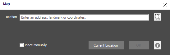
For location, enter in an address, landmark or latitude/longitude coordinates. Alternatively, if you have your computer's Location setting enabled, you can use the option Current Location to get the latidue/longtidue coordinates of your current position.
-
Press OK once you have a location in place
-
This will enable the Geolocation ribbon, with some more options on customizing your background imagery