A GeoTag is a defined location in Cartesian coordinate space that has asset(s) associated with it. GeoTags created in a Cyclone REGISTER product or in Cyclone FIELD 360 can be viewed downstream in TruView, TruView LIVE and CloudWorx.
GeoTags can be useful for identifying objects of interest in a registration. Assets such as websites, pictures and other file types can be attached to provide more information about the object.
GeoTag Categories
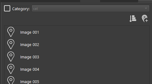
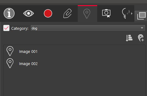
GeoTags can also be categorized prior to publishing or when creating them in TruView. Within TruView, GeoTags can be filtered by their category for quick identification. The categories can be viewed in TruView in the GeoTags Panel. This panel will list all of the GeoTags that were published with the project whether as an LGS file or a JetStream Enterprise or Cyclone ENTERPRISE project. Select the check box next to Category to enable the category filter. The drop down will contain a list of categories if they exist. Selecting a category will only display the GeoTags associated with that category.
Please refer to the Visibility Pannel section for information about rendering GeoTags by category.
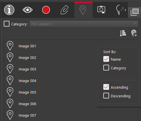
Sort GeoTags
GeoTags can be sorted by clicking on the Sort GeoTags button. Geotags can be sorted by Name or Category. They can be ordered in Decending or Ascending order.