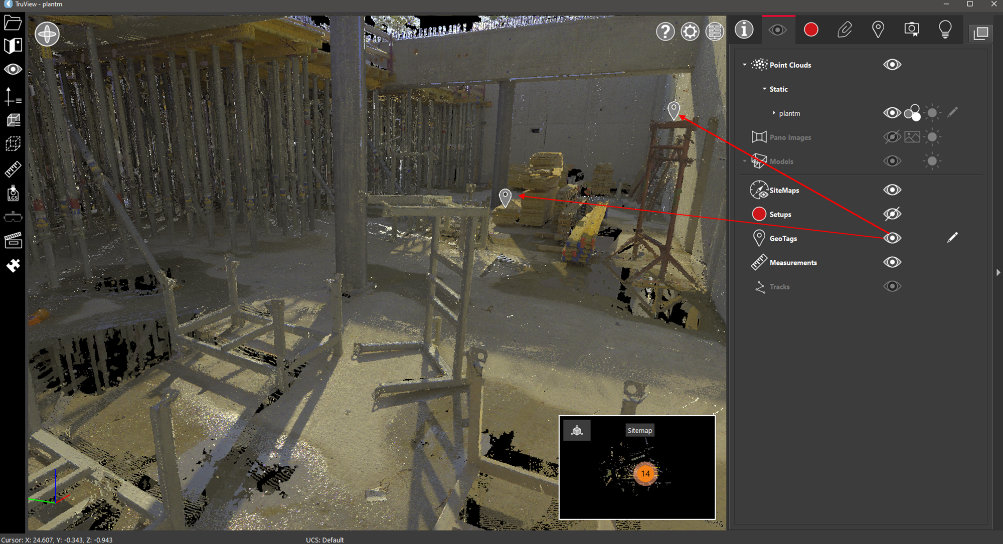
The GeoTags visibility setting will toggle the GeoTag icons on and off.
-
Shortcut Key: Y
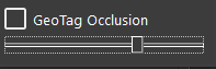
Click the GeoTag Occlusion icon ![]()
The GeoTag occlusion slider controls how a GeoTag is drawn when that GeoTag is partially hidden behind something else. The options are:
-
A GeoTag is drawn partially hidden.
-
A GeoTag completely covers whatever is in front of it.
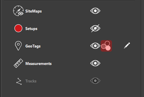
The control works as follows:
[See Less GeoTags] <----+----> [See More GeoTags]
The decision is based on the percentage of the visible GeoTag vs. hidden GeoTag.
Color GeoTags by Category
GeoTags can be rendered by category by clicking the Color GeoTag by Category button.
The GeoTag Symbology dialog contains two options for rendering GeoTags. By default, the Color by Category check box is deselected, which disables the Category table control. The GeoTag Color control at the bottom of the dialog will be active. This control can be used to render all GeoTags in the same colour. Simply click on the colour control to open the colour picker and select the preferred colour.
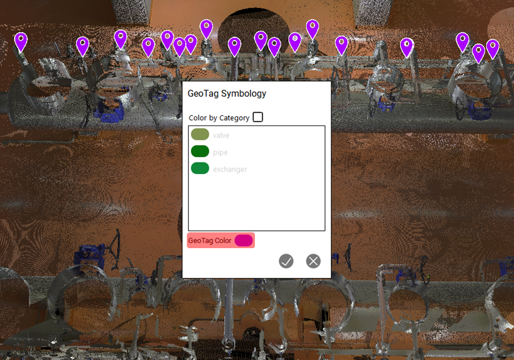
When the Color by Category check box is selected, the Category table control will be activated, displaying a list of GeoTag categories with a colour picker for each one. GeoTag categories can be added to individual GeoTags by opening the GeoTag properties for each GeoTag in the GeoTags Panel and adding a value to the Category field.
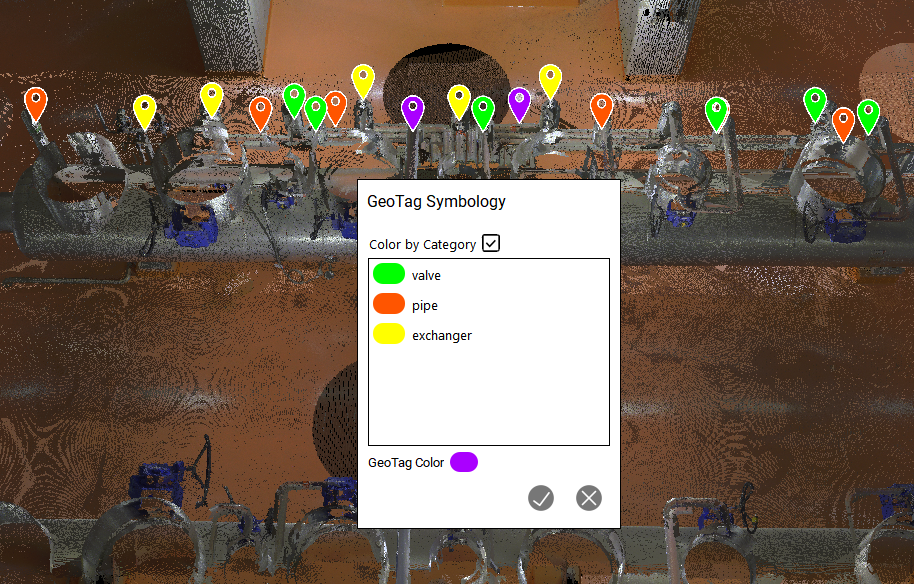
Note: GeoTags that do not have a category associated with them will be labelled as <No Category> in the GeoTag Symbology dialog.