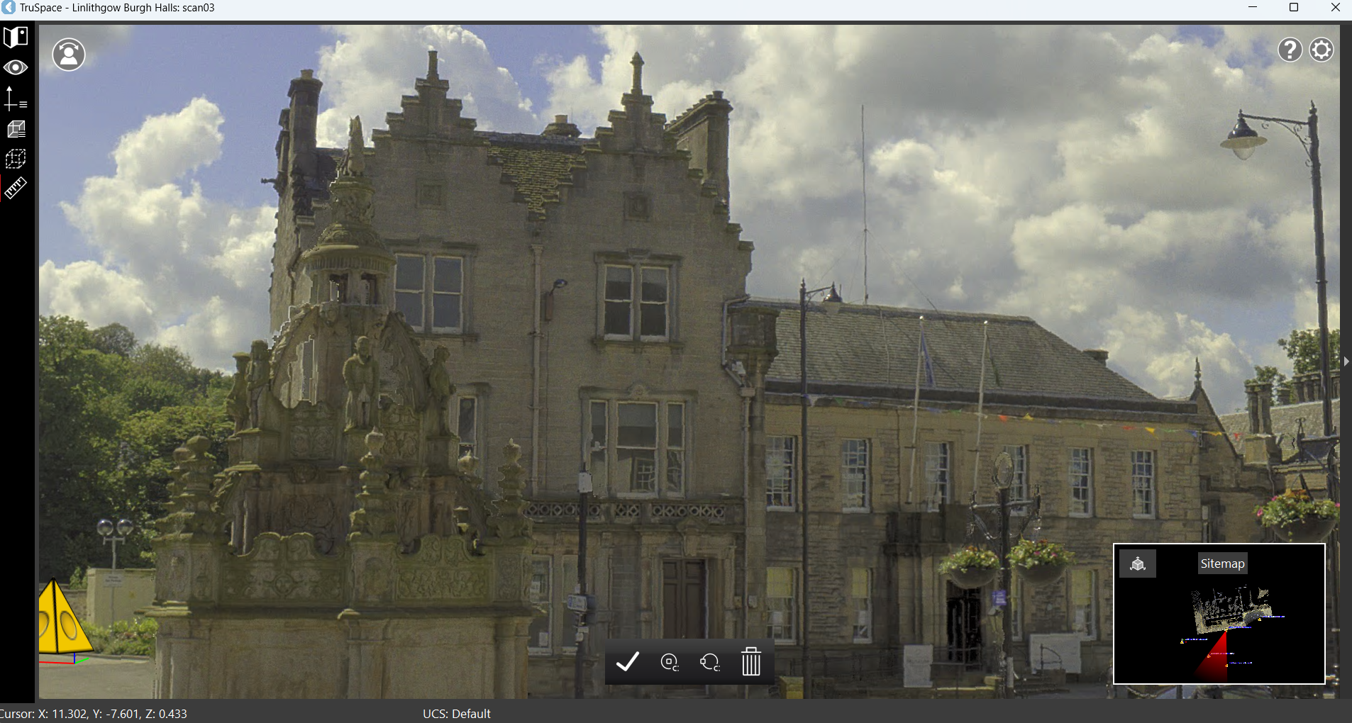
TruSpace is Leica Geosystems' viewer that allows for quick and easy viewing of point cloud data within CAD apps that incorporate Leica CloudWorx plugins.
Supported data formats include Cyclone ENTERPRISE or LGS (stand-alone solution) for those seeking a lightweight point cloud and model viewing tool.
Leica TruSpace offers:
-
Ultra-high-speed rendering of your point cloud data to instantly open and display an unlimited number of points all the time as you navigate your data set.
-
Optional Cyclone ENTERPRISE and LGS data sources.
-
Total flexibility in accessing and sharing digital reality data.
-
No extra license is occupied during use, so your CAD specialists can continue their work uninterrupted.
-
Intuitive navigation controls allow users to engage in point cloud data without training, at any experience level.
-
Visualize point clouds intuitively by elevation, HDR coloring, classification, and more.
-
Measurement and visualization tools allow you to conduct simple project management tasks or create marketing materials such as fly-through animations.
-
Saved limit boxes and user coordinate systems facilitate coordination with CAD.
-
Support for BLK360 native HDR imagery via simple slider function.
-
Full support for Layers, Tags, and Assets published from Cyclone or created in Cyclone REGISTER 360, CloudWorx, etc.
-
Support for IFC, OBJ and COE models