autocad pro bricscad pro ultimate
Tools | Points on Grid
Command Line
AutoCAD / BricsCAD: CWPONGRID
This command provides easy-to-use tools for defining a grid on the ground and selecting an area of interest for inserting survey ground points. The user can launch an automated algorithm that intelligently places survey points using a selected SmartPick setting.
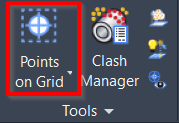
Using the Tool
To generate points on a grid:
Click the Points on Grid button in the Tools panel or type a command line prompt specific to the preferred CAD system and press ENTER. The Points on Grid dialog will open.
On the WorkPlane/Grid tab, go to the Grid Display section, set the desired grid size, and select the Display check box.
Note: The grid orientation will follow the UCS. The user can orientate the UCS prior to creating points on a grid.
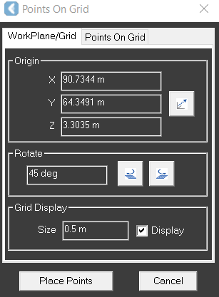
On the Points On Grid tab, in the Parameters section:
Choose which SmartPick Method is desired.
Choose the Ground Search Radius.
Choose the Result Type.
Change the default Raw Description if needed.
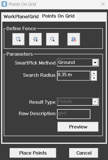
Create a fence around the area of interest to define the region where points will be placed. For instructions on creating a fence, see Fence.
Click Place Points. Preview is not required. However, it will temporarily show where points will be placed.
Refer to SmartPick Viewport for a description of each pick mode.