Panoramic Images
Export Panoramic Images
Users can export the panoramic images that are produced either in the field during data capture or those created during the data import process as WayPoints within BLK Mobile data.
Note: Exporting panoramic images requires a Cyclone REGISTER 360 PLUS or a Cyclone WORKFLOW license.
You can access this feature by right-clicking on SiteMap tree items, Bundle tree items, Setup tree items, or WayPoint items in the Review & Optimize section.
To export a panoramic image:
Right-click on the desired item in the Review & Optimize section.
Select the Export option.
A dialog will prompt you to choose the folder location for export.
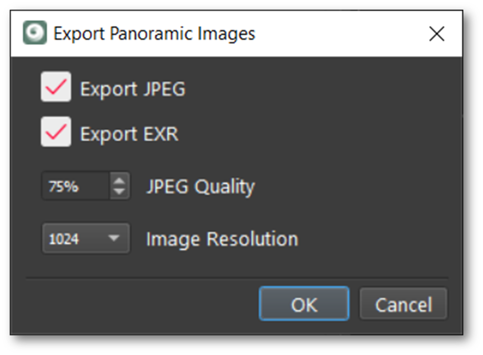
Choose your preferred image format (JPEG, EXR, or both) for export.

Note: The tool will only export the maximum image size available for the selected resolution, regardless of the image resolution selected. For example, if the imported resolution is 1K, then only a 1K image will be exported, irrespective of the selected export resolution.
Panoramic Image Resolution
In Cyclone REGISTER 360 PLUS, cube mapping is utilized for panoramic image projections. This method uses the six faces of a cube to project the environment, stored as six square textures. Cube mapping is preferred over sphere mapping due to its enhanced efficiency and reduced image distortion. These cube maps can be rendered into spherical panoramas when exporting panoramic images, offering a more immersive visual experience. Please refer to https://en.wikipedia.org/wiki/Cube_mapping for more details.
When publishing from Cyclone REGISTER 360 PLUS, the image resolution settings determine the resolution of the cube images. This means the resolution corresponds to the size of the cube image, not the rendered spherical image. For instance, a panoramic image export with a resolution of 1024 results in a cube map of the same resolution, which is then combined into a spherical panorama of size 4096 x 2048.

