Batch Creation of RAF files from BLK2GO data
Users can batch create RAF files from BLK2GO data using a command-line interface to rapidly process data and access RAF files without manual intervention.
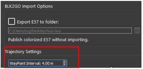
Option to set WayPoint interval.
interval=(n), n being the distance in meters.
Example: interval=10, this would create a WayPoint every 10 meters.
Option to create WayPoints from GeoTags
The command is: geotag-waypoints
Using this command will add GeoTags for every detailed image captured in the field.
Workflow and commands inside of the CMD window:
To begin, open Cyclone REGISTER 360 PLUS and add any B2G file.
Set the desired WayPoint creation interval: (Or use the WayPoint Interval option as mentioned above.)
Close Cyclone REGISTER 360 PLUS without importing the b2g file.
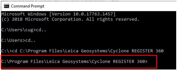
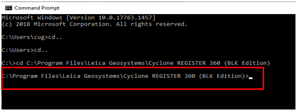
2. Open a CMD window and change the path to the installation directory of Cyclone REGISTER 360 PLUS standard or BLK edition.
Standard edition path example:
BLK-Edition path example
3. To set the staging folder and execute the command, type the following:
register360.exe -b2g2raf d:\staging
For Cyclone REGISTER 360 PLUS (BLK Edition):
register360-blk.exe -b2g2raf d:\staging
In this example, the staging folder is set to d:\staging. The folder can be set to any local drive.

4. Cyclone REGISTER 360 PLUS will start up in the background. A dialog will appear that indicates that Cyclone REGISTER 360 PLUS is monitoring the staging directory.

5. Copy any amount of B2G files into the staging folder. Once copied, Cyclone REGISTER 360 PLUS will start to process the B2G files into RAF archives automatically.
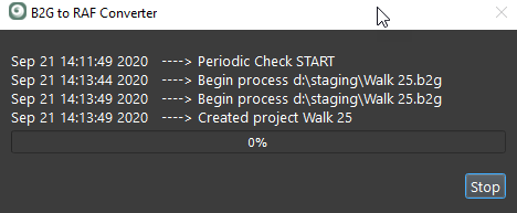
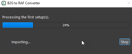
6. Once finished processing all B2G files, Cyclone REGISTER 360 PLUS will continue to monitor the staging folder for additional B2G files. REGISTER 360 will process additional once more b2g files are added.
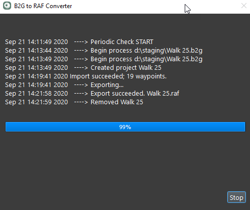
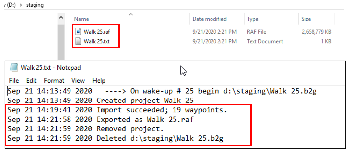
7. RAF file and a text file showing whether the conversion succeeded or failed will be created for each B2G in the staging folder. The original B2G files will be deleted from the staging folder as they are processed.
